ឯកសារ:Abashiri River09n.jpg

ទំហំរបស់ការមើលមុននេះ: ៨០០ × ៥៣២ ភីកសែ។ ភាពម៉ត់ផ្សេងទៀត៖ ៣២០ × ២១៣ ភីកសែ | ៦៤០ × ៤២៥ ភីកសែ | ១០២៤ × ៦៨០ ភីកសែ | ១២៨០ × ៨៥១ ភីកសែ | ២៥៦០ × ១៧០១ ភីកសែ | ៤៩១២ × ៣២៦៤ ភីកសែ។
រូបភាពដើម (៤៩១២ × ៣២៦៤ ភីកសែល ទំហំឯកសារ៖ ៦.១៨មេកាបៃ ប្រភេទ MIME៖ image/jpeg)
ចំណារពន្យល់
| ការពិពណ៌នា |
Camera: Sony SLT-A55V Lens: Sony SAL1680Z (Carl Zeiss) |
| កាលបរិច្ឆេទ | |
| ប្រភព | ការងារផ្ទាល់របស់អ្នកផ្ទុកឡើង |
| អ្នកនិពន្ធ | 663highland |
| ការអនុញ្ញាត (ប្រើឯកសារនេះឡើងវិញ) |
GFDL+creative commons2.5 |
| ទីតាំងម៉ាស៊ីនថត | | រូបភាពនេះនិងរូបភាពផ្សេងទៀតនៅឯទីតាំងរបស់វាលើ: OpenStreetMap |
|---|
ការដាក់អាជ្ញាប័ណ្ណ
I, the copyright holder of this work, hereby publish it under the following licenses:

|
រូបភាពនៃទំព័រនេះជាកម្មសិទ្ធិរបស់GNU Free Documentation License។ Version 1.2 ឬក៏ខ្ពស់ជាងនេះត្រូវបានឧបត្ថមគាំទ្រដោយ មូលនិធិសូហ្វវែរដោយឥតគិតថ្លៃ (Free Software Foundation) ដែលមិនមានផ្នែកណាមួយរបស់ប្រភពដើមរួមទាំងអក្សរនៅលើគំរបមុខនិងខ្នង ត្រូវបានផ្លាស់ប្តូរទេ។ ចំពោះផ្នែកដែលមិនអាចផ្លាស់ប្តូរបាន សូមមើលGNU Free Documentation License។ |
| ឯកសារនេះជាប់អាជ្ញាបណ្ឌCreative Commons Attribution-Share Alike 3.0 Unported។ | ||
| ||
| This licensing tag was added to this file as part of the GFDL licensing update. |
ឯកសារនេះជាប់អាជ្ញាបណ្ឌCreative Commons Attribution 2.5 Generic។
- អ្នកមានសិទ្ធិ៖
- ចែកចាយ – ថតចំលងនិងចែកចាយស្នាដៃនេះ
- កែច្នៃ – កែច្នៃយកទៅប្រើ
- ក្រោមលក្ខខណ្ឌដូចតទៅនេះ៖
- ភាពជាម្ចាស់កម្មសិទ្ធ – You must give appropriate credit, provide a link to the license, and indicate if changes were made. You may do so in any reasonable manner, but not in any way that suggests the licensor endorses you or your use.
You may select the license of your choice.
ប្រវត្តិឯកសារ
ចុចលើម៉ោងនិងកាលបរិច្ឆេទដើម្បីមើលឯកសារដែលបានផ្ទុកឡើងនៅពេលនោះ។
| ម៉ោងនិងកាលបរិច្ឆេទ | កូនរូបភាព | វិមាត្រ | អ្នកប្រើប្រាស់ | យោបល់ | |
|---|---|---|---|---|---|
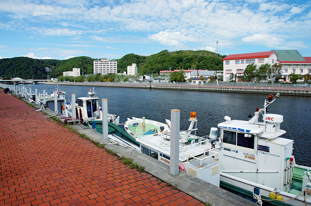
| បច្ចុប្បន្ន | ម៉ោង១២:០០ ថ្ងៃសៅរ៍ ទី២៩ ខែតុលា ឆ្នាំ២០១១ | | ៤៩១២ × ៣២៦៤ (៦.១៨មេកាបៃ) | 663highland | {{Information| |Source=663highland |Description={{en|'''Abashiri River''' in Abashiri, Hokkaido prefecture, Japan}} {{ja|'''網走川''', 北海道網走市}} Camera: [[:Ca |
បម្រើបម្រាស់ឯកសារ
ទំព័រ ខាងក្រោមប្រើប្រាស់ឯកសារនេះ ៖
បម្រើបម្រាស់ឯកសារជាសាកល
វីគីដទៃទៀតដូចខាងក្រោមនេះប្រើប្រាស់ឯកសារនេះ៖
- ការប្រើប្រាស់នៅក្នុង en.wikipedia.org
- ការប្រើប្រាស់នៅក្នុង fa.wikipedia.org
- ការប្រើប្រាស់នៅក្នុង id.wikipedia.org
- ការប្រើប្រាស់នៅក្នុង io.wikipedia.org
- ការប្រើប្រាស់នៅក្នុង ja.wikipedia.org
- ការប្រើប្រាស់នៅក្នុង pt.wikipedia.org
- ការប្រើប្រាស់នៅក្នុង vi.wikipedia.org