ឯកសារ:Asia location map2.svg

Size of this PNG preview of this SVG file: ២៩០ × ២០៤ ភីកសែ. ភាពម៉ត់ផ្សេងទៀត៖ ៣២០ × ២២៥ ភីកសែ | ៦៤០ × ៤៥០ ភីកសែ | ១០២៤ × ៧២០ ភីកសែ | ១២៨០ × ៩០០ ភីកសែ | ២៥៦០ × ១៨០១ ភីកសែ។
រូបភាពដើម (ឯកសារប្រភេទSVG ២៩០ × ២០៤ ភីកសែល ទំហំឯកសារ៖ ២៦៣គីឡូបៃ)
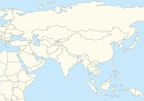
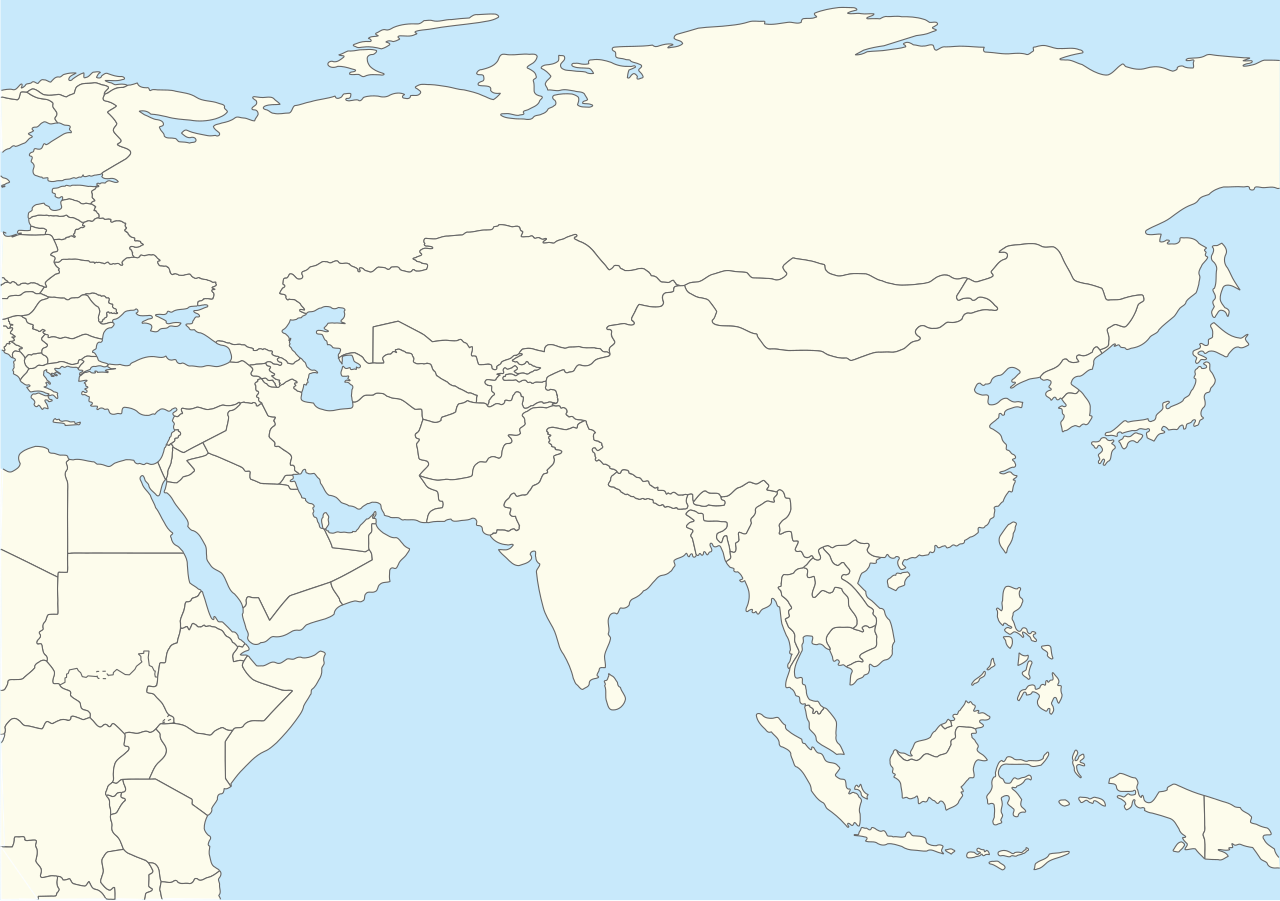
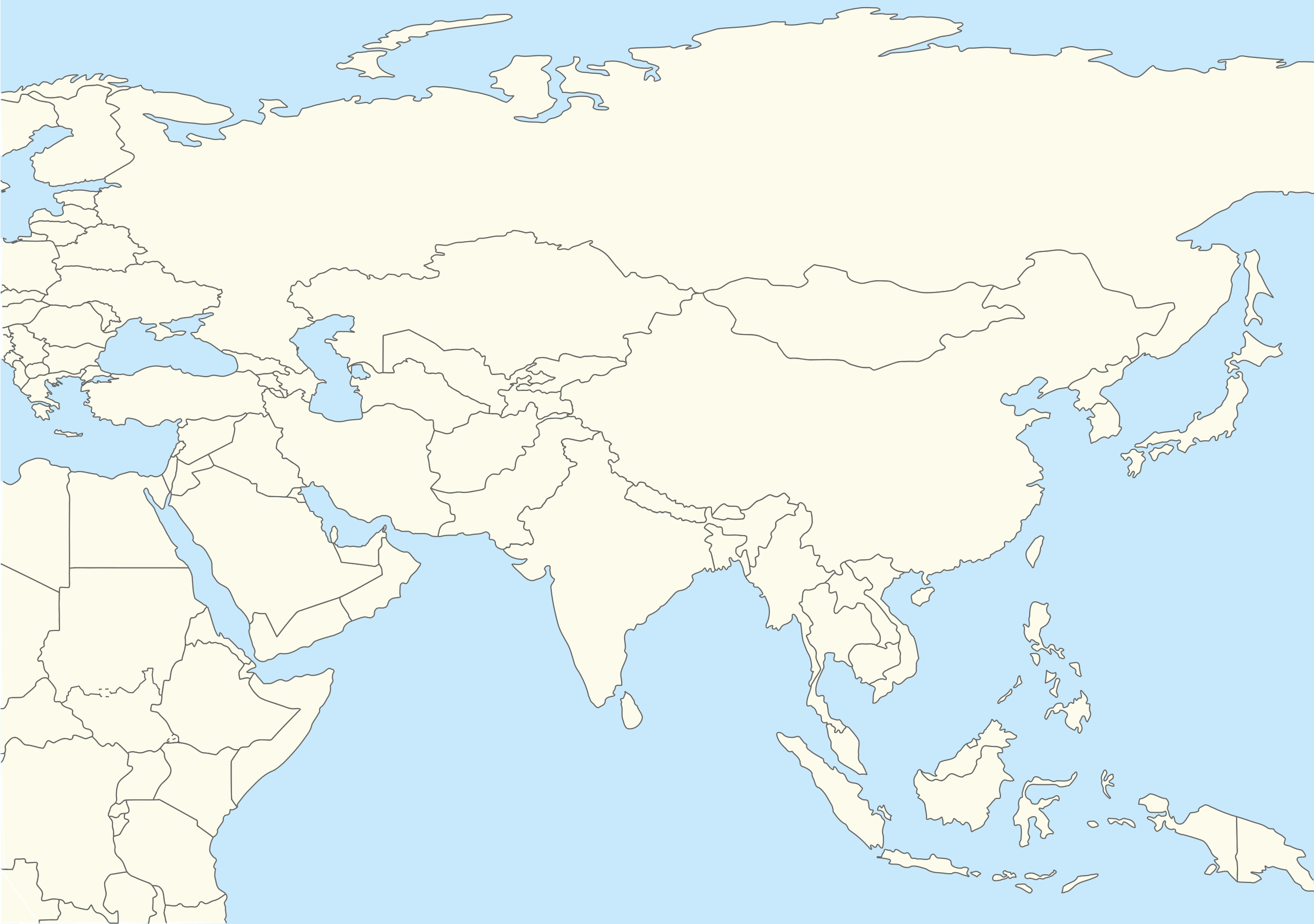
| ការពិពណ៌នា | Location map for Asia with national borders(second version) |
| កាលបរិច្ឆេទ | (UTC) |
| ប្រភព | |
| អ្នកនិពន្ធ |
|
| This is a retouched picture, which means that it has been digitally altered from its original version. The original can be viewed here: World location map.svg.
|
I, the copyright holder of this work, hereby publish it under the following license:
| I, the copyright holder of this work, release this work into the public domain. This applies worldwide. In some countries this may not be legally possible; if so: I grant anyone the right to use this work for any purpose, without any conditions, unless such conditions are required by law. |
Original upload log
This image is a derivative work of the following images:
- File:World_location_map.svg licensed with PD-self
- 2010-04-18T18:53:02Z STyx 800x400 (599024 Bytes) {{Information |Description={{en|1=?}} |Source=? |Author=? |Date= |Permission= |other_versions= }} == {{int:filedesc}} == {{Information |Description={{en}}Blank world map for location map templates ([[:en:Equirectangular proje
Uploaded with derivativeFX
ប្រវត្តិឯកសារ
ចុចលើម៉ោងនិងកាលបរិច្ឆេទដើម្បីមើលឯកសារដែលបានផ្ទុកឡើងនៅពេលនោះ។
| ម៉ោងនិងកាលបរិច្ឆេទ | កូនរូបភាព | វិមាត្រ | អ្នកប្រើប្រាស់ | យោបល់ | |
|---|---|---|---|---|---|
| បច្ចុប្បន្ន | ម៉ោង១៥:៣១ ថ្ងៃសុក្រ ទី១២ ខែមេសា ឆ្នាំ២០១៩ | | ២៩០ × ២០៤ (២៦៣គីឡូបៃ) | Goran tek-en | Updating South Sudan as requested by {{u|Maphobbyist}}. |
| ម៉ោង១១:៥៥ ថ្ងៃព្រហស្បតិ៍ ទី២៨ ខែតុលា ឆ្នាំ២០១០ |  | ២៩០ × ២០៤ (២៥៨គីឡូបៃ) | 배우는사람 | {{Information |Description=Location map for Asia (second version) |Source=*File:World_location_map.svg |Date=2010-10-28 11:54 (UTC) |Author=*File:World_location_map.svg *derivative work: ~~~ |Permission= |other_versions= }} {{RetouchedPicture |
បម្រើបម្រាស់ឯកសារ
2 ទំព័រ ខាងក្រោមប្រើប្រាស់ឯកសារនេះ ៖
បម្រើបម្រាស់ឯកសារជាសាកល
វីគីដទៃទៀតដូចខាងក្រោមនេះប្រើប្រាស់ឯកសារនេះ៖
- ការប្រើប្រាស់នៅក្នុង ar.wikipedia.org
- ការប្រើប្រាស់នៅក្នុង ba.wikipedia.org
- ការប្រើប្រាស់នៅក្នុង bh.wikipedia.org
- ការប្រើប្រាស់នៅក្នុង blk.wikipedia.org
- ការប្រើប្រាស់នៅក្នុង bn.wikipedia.org
- ការប្រើប្រាស់នៅក្នុង br.wikipedia.org
- ការប្រើប្រាស់នៅក្នុង ca.wikipedia.org
- ការប្រើប្រាស់នៅក្នុង ceb.wikipedia.org
- ការប្រើប្រាស់នៅក្នុង da.wikipedia.org
- ការប្រើប្រាស់នៅក្នុង diq.wikipedia.org
- ការប្រើប្រាស់នៅក្នុង dty.wikipedia.org
- ការប្រើប្រាស់នៅក្នុង en.wikipedia.org
- Ibn Battuta
- Sary Shagan
- Mount Awu
- Kontinental Hockey League
- Module:Location map/data/Asia (equirectangular)/doc
- Template:Location map+/testcases
- Template:Location map+/overlay
- User:Mertborak
- List of places visited by Ibn Battuta
- User:Aidann/sandbox
- User:Joelton Ivson/Gather lists/24675 – Esportes
- Module:Location map/data/Asia (equirectangular)
- ការប្រើប្រាស់នៅក្នុង en.wikiversity.org
- ការប្រើប្រាស់នៅក្នុង eu.wikipedia.org
- ការប្រើប្រាស់នៅក្នុង fa.wikipedia.org
- ការប្រើប្រាស់នៅក្នុង fo.wikipedia.org
- ការប្រើប្រាស់នៅក្នុង gu.wikipedia.org
- ការប្រើប្រាស់នៅក្នុង he.wikipedia.org
- ការប្រើប្រាស់នៅក្នុង id.wikipedia.org
- ការប្រើប្រាស់នៅក្នុង ilo.wikipedia.org
View more global usage of this file.