ឯកសារ:COL orthographic (San Andrés and Providencia special).svg

Size of this PNG preview of this SVG file: ៥៥០ × ៥៥០ ភីកសែ. ភាពម៉ត់ផ្សេងទៀត៖ ២៤០ × ២៤០ ភីកសែ | ៤៨០ × ៤៨០ ភីកសែ | ៧៦៨ × ៧៦៨ ភីកសែ | ១០២៤ × ១០២៤ ភីកសែ | ២០៤៨ × ២០៤៨ ភីកសែ។
រូបភាពដើម (ឯកសារប្រភេទSVG ៥៥០ × ៥៥០ ភីកសែល ទំហំឯកសារ៖ ១.០៩មេកាបៃ)
.svg)
ចំណារពន្យល់
| ការពិពណ៌នា | |
| កាលបរិច្ឆេទ | |
| ប្រភព | ការងារផ្ទាល់របស់អ្នកផ្ទុកឡើង |
| អ្នកនិពន្ធ | Addicted04 |
| SVG genesis | រូបភាពក្រាភិកវ៉ិចទ័រនេះត្រូវបានបង្កើតឡើងដោយប្រើ Inkscape, or with something else. |
ការដាក់អាជ្ញាប័ណ្ណ
I, the copyright holder of this work, hereby publish it under the following license:
ឯកសារនេះជាប់អាជ្ញាបណ្ឌCreative Commons Attribution-Share Alike 3.0 Unported។
- អ្នកមានសិទ្ធិ៖
- ចែកចាយ – ថតចំលងនិងចែកចាយស្នាដៃនេះ
- កែច្នៃ – កែច្នៃយកទៅប្រើ
- ក្រោមលក្ខខណ្ឌដូចតទៅនេះ៖
- ភាពជាម្ចាស់កម្មសិទ្ធ – You must give appropriate credit, provide a link to the license, and indicate if changes were made. You may do so in any reasonable manner, but not in any way that suggests the licensor endorses you or your use.
- share alike – If you remix, transform, or build upon the material, you must distribute your contributions under the same or compatible license as the original.
ប្រវត្តិឯកសារ
ចុចលើម៉ោងនិងកាលបរិច្ឆេទដើម្បីមើលឯកសារដែលបានផ្ទុកឡើងនៅពេលនោះ។
| ម៉ោងនិងកាលបរិច្ឆេទ | កូនរូបភាព | វិមាត្រ | អ្នកប្រើប្រាស់ | យោបល់ | |
|---|---|---|---|---|---|
| បច្ចុប្បន្ន | ម៉ោង០៦:៥៥ ថ្ងៃអង្គារ ទី០៦ ខែមករា ឆ្នាំ២០១៥ | | ៥៥០ × ៥៥០ (១.០៩មេកាបៃ) | Denniss | Reverted to version as of 22:05, 19 July 2014 |
| ម៉ោង០៤:៥២ ថ្ងៃអង្គារ ទី០៦ ខែមករា ឆ្នាំ២០១៥ |  | ៤៧០ × ៤៥០ (៨៦គីឡូបៃ) | Mondolkiri1 | Mapa da Colômbia na UNASUL / Mapa de Colombia en UNASUR | |
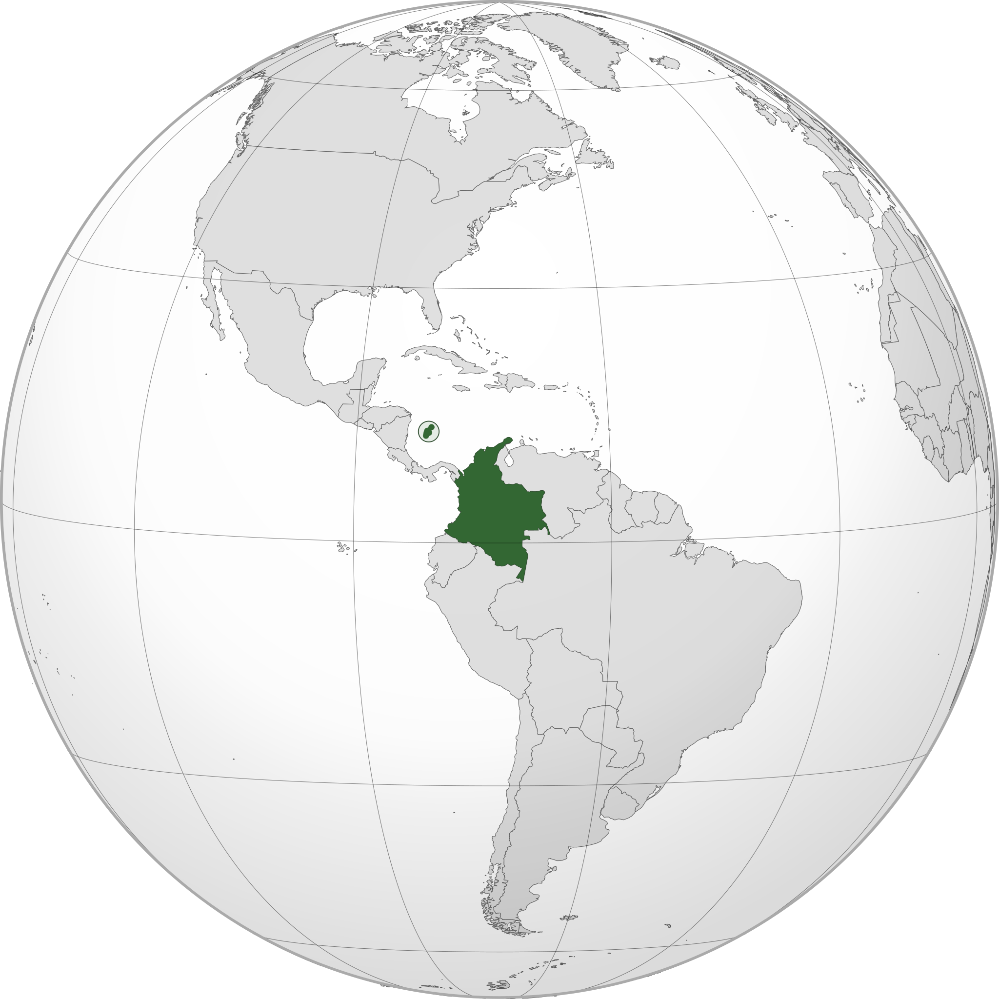
| ម៉ោង២២:០៥ ថ្ងៃសៅរ៍ ទី១៩ ខែកក្កដា ឆ្នាំ២០១៤ |  | ៥៥០ × ៥៥០ (១.០៩មេកាបៃ) | Roboting | El Archipiélago de San Andrés, Providencia y Santa Catalina: Son un territorio oficial de Colombia. | |
| ម៉ោង១៥:៥០ ថ្ងៃពុធ ទី១៥ ខែមករា ឆ្នាំ២០១៤ |  | ៥៥០ × ៥៥០ (១.០៩មេកាបៃ) | Addicted04 | User created page with UploadWizard |
បម្រើបម្រាស់ឯកសារ
គ្មានទំព័រណាមួយដែលប្រើប្រាស់ឯកសារនេះទេ។
បម្រើបម្រាស់ឯកសារជាសាកល
វីគីដទៃទៀតដូចខាងក្រោមនេះប្រើប្រាស់ឯកសារនេះ៖
- ការប្រើប្រាស់នៅក្នុង ami.wikipedia.org
- ការប្រើប្រាស់នៅក្នុង ang.wikipedia.org
- ការប្រើប្រាស់នៅក្នុង arc.wikipedia.org
- ការប្រើប្រាស់នៅក្នុង ar.wikipedia.org
- كولومبيا
- بوابة:كولومبيا
- بوابة:كولومبيا/واجهة
- مستخدم:جار الله/قائمة صور مقالات العلاقات الثنائية
- معاملة المثليين في كولومبيا
- العلاقات الأمريكية الكولومبية
- العلاقات الأنغولية الكولومبية
- العلاقات الكورية الجنوبية الكولومبية
- العلاقات الإريترية الكولومبية
- العلاقات السويسرية الكولومبية
- العلاقات الألمانية الكولومبية
- العلاقات الكولومبية الليختنشتانية
- العلاقات البوليفية الكولومبية
- العلاقات الكولومبية الموزمبيقية
- العلاقات الألبانية الكولومبية
- العلاقات البلجيكية الكولومبية
- العلاقات الإثيوبية الكولومبية
- العلاقات البيلاروسية الكولومبية
- العلاقات الطاجيكستانية الكولومبية
- العلاقات الروسية الكولومبية
- العلاقات الرومانية الكولومبية
- العلاقات الأرجنتينية الكولومبية
- العلاقات الغامبية الكولومبية
- العلاقات القبرصية الكولومبية
- العلاقات السيراليونية الكولومبية
- العلاقات الكولومبية النيبالية
- العلاقات الكولومبية الليبيرية
- العلاقات التشيكية الكولومبية
- العلاقات الكولومبية الميانمارية
- العلاقات العراقية الكولومبية
- العلاقات البريطانية الكولومبية
- العلاقات الكندية الكولومبية
- العلاقات الكوبية الكولومبية
- العلاقات الكورية الشمالية الكولومبية
- العلاقات الكوستاريكية الكولومبية
- العلاقات الكولومبية المالية
- العلاقات الكولومبية النيجيرية
- العلاقات الكولومبية الناوروية
- العلاقات الكولومبية اللاتفية
- العلاقات الكولومبية اللوكسمبورغية
- العلاقات الكولومبية المصرية
- العلاقات الكولومبية الهندوراسية
- العلاقات الكولومبية الليسوتوية
- العلاقات الكولومبية النيكاراغوية
- العلاقات الكولومبية المولدوفية
- العلاقات الكولومبية المالاوية
- العلاقات الكولومبية الكينية
View more global usage of this file.
.svg)
.svg)