ឯកសារ:Cameroon location map.svg

Size of this PNG preview of this SVG file: ៤១៦ × ៥៩៩ ភីកសែ. ភាពម៉ត់ផ្សេងទៀត៖ ១៦៦ × ២៤០ ភីកសែ | ៣៣៣ × ៤៨០ ភីកសែ | ៥៣៣ × ៧៦៨ ភីកសែ | ៧១១ × ១០២៤ ភីកសែ | ១៤២២ × ២០៤៨ ភីកសែ | ៩៩២ × ១៤២៩ ភីកសែ។
រូបភាពដើម (ឯកសារប្រភេទSVG ៩៩២ × ១៤២៩ ភីកសែល ទំហំឯកសារ៖ ៤៦៦គីឡូបៃ)
ចំណារពន្យល់
| ការពិពណ៌នា |
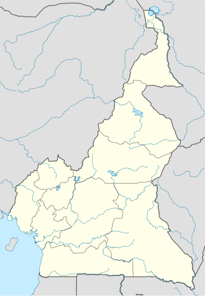
Deutsch: Positionskarte von Kamerun
Quadratische Plattkarte. Geographische Begrenzung der Karte:
English: Location map of Cameroon
Equirectangular projection. Geographic limits of the map:
العربية: خريطة موقع الكاميرون
إسقاط متساوي المستطيل. الحدود الجغرافية للخريطة:
|
| កាលបរិច្ឆេទ | |
| ប្រភព |
ការងារផ្ទាល់របស់អ្នកផ្ទុកឡើង, using
|
| អ្នកនិពន្ធ | NordNordWest |
| ការអនុញ្ញាត (ប្រើឯកសារនេះឡើងវិញ) |
I, the copyright holder of this work, hereby publish it under the following license: ឯកសារនេះជាប់អាជ្ញាបណ្ឌCreative Commons Attribution-Share Alike 3.0 Unported។
|
| ទំរង់ផ្សេងទៀត |
Derivative works of this file: |

|
This map has been made or improved in the German Kartenwerkstatt (Map Lab). You can propose maps to improve as well.
|
ប្រវត្តិឯកសារ
ចុចលើម៉ោងនិងកាលបរិច្ឆេទដើម្បីមើលឯកសារដែលបានផ្ទុកឡើងនៅពេលនោះ។
| ម៉ោងនិងកាលបរិច្ឆេទ | កូនរូបភាព | វិមាត្រ | អ្នកប្រើប្រាស់ | យោបល់ | |
|---|---|---|---|---|---|
| បច្ចុប្បន្ន | ម៉ោង១៣:៣៤ ថ្ងៃព្រហស្បតិ៍ ទី២៩ ខែតុលា ឆ្នាំ២០០៩ | | ៩៩២ × ១៤២៩ (៤៦៦គីឡូបៃ) | NordNordWest | =={{int:filedesc}}== {{Information |Description= {{de|Positionskarte von Kamerun}} Quadratische Plattkarte. Geographische Begrenzung der Karte: * N: 13.5° N * S: 1.4° N * W: 8.2° O * O: 16.6° O {{en|Location map of [[:en:Cameroon|Camer |
បម្រើបម្រាស់ឯកសារ
ទំព័រ ខាងក្រោមប្រើប្រាស់ឯកសារនេះ ៖
បម្រើបម្រាស់ឯកសារជាសាកល
វីគីដទៃទៀតដូចខាងក្រោមនេះប្រើប្រាស់ឯកសារនេះ៖
- ការប្រើប្រាស់នៅក្នុង af.wikipedia.org
- ការប្រើប្រាស់នៅក្នុង am.wikipedia.org
- ការប្រើប្រាស់នៅក្នុង ar.wikipedia.org
- ការប្រើប្រាស់នៅក្នុង az.wikipedia.org
- ការប្រើប្រាស់នៅក្នុង ba.wikipedia.org
- ការប្រើប្រាស់នៅក្នុង be-tarask.wikipedia.org
- ការប្រើប្រាស់នៅក្នុង be.wikipedia.org
- ការប្រើប្រាស់នៅក្នុង bg.wikipedia.org
- ការប្រើប្រាស់នៅក្នុង bn.wikipedia.org
- ការប្រើប្រាស់នៅក្នុង bs.wikipedia.org
- ការប្រើប្រាស់នៅក្នុង ceb.wikipedia.org
View more global usage of this file.