ឯកសារ:Colombia location map.svg

Size of this PNG preview of this SVG file: ៥១២ × ៥៧៩ ភីកសែ. ភាពម៉ត់ផ្សេងទៀត៖ ២១២ × ២៤០ ភីកសែ | ៤២៤ × ៤៨០ ភីកសែ | ៦៧៩ × ៧៦៨ ភីកសែ | ៩០៥ × ១០២៤ ភីកសែ | ១៨១១ × ២០៤៨ ភីកសែ។
រូបភាពដើម (ឯកសារប្រភេទSVG ៥១២ × ៥៧៩ ភីកសែល ទំហំឯកសារ៖ ១.០៧មេកាបៃ)
ចំណារពន្យល់
| ការពិពណ៌នា |
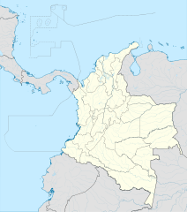
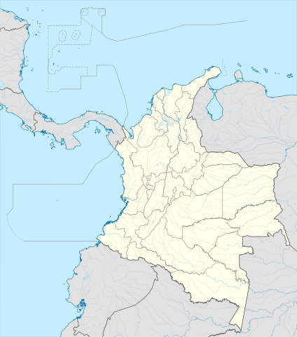
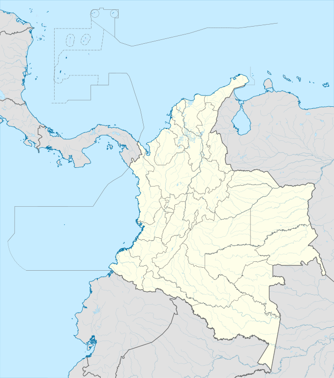
English: Location map of Colombia
Equirectangular projection. Geographic limits of the map:
|
| កាលបរិច្ឆេទ | |
| ប្រភព | ការងារផ្ទាល់របស់អ្នកផ្ទុកឡើង (Original text: own work, using Demis data) |
| អ្នកនិពន្ធ | Milenioscuro |
| ទំរង់ផ្សេងទៀត |
Derivative works of this file: Bajo Nuevo Colombia location.png
|
| SVG genesis | រូបភាពក្រាភិកវ៉ិចទ័រនេះត្រូវបានបង្កើតឡើងដោយប្រើ Adobe Illustrator. |


.svg)

ការដាក់អាជ្ញាប័ណ្ណ
Milenioscuro, the copyright holder of this work, hereby publishes it under the following license:
ឯកសារនេះជាប់អាជ្ញាបណ្ឌCreative Commons Attribution-Share Alike 3.0 Unported។
ភាពជាម្ចាស់កម្មសិទ្ធ: Milenioscuro
- អ្នកមានសិទ្ធិ៖
- ចែកចាយ – ថតចំលងនិងចែកចាយស្នាដៃនេះ
- កែច្នៃ – កែច្នៃយកទៅប្រើ
- ក្រោមលក្ខខណ្ឌដូចតទៅនេះ៖
- ភាពជាម្ចាស់កម្មសិទ្ធ – You must give appropriate credit, provide a link to the license, and indicate if changes were made. You may do so in any reasonable manner, but not in any way that suggests the licensor endorses you or your use.
- share alike – If you remix, transform, or build upon the material, you must distribute your contributions under the same or compatible license as the original.
| Annotations | This image is annotated: View the annotations at Commons |


ប្រវត្តិឯកសារ
ចុចលើម៉ោងនិងកាលបរិច្ឆេទដើម្បីមើលឯកសារដែលបានផ្ទុកឡើងនៅពេលនោះ។
| ម៉ោងនិងកាលបរិច្ឆេទ | កូនរូបភាព | វិមាត្រ | អ្នកប្រើប្រាស់ | យោបល់ | |
|---|---|---|---|---|---|
| បច្ចុប្បន្ន | ម៉ោង២០:១៧ ថ្ងៃអង្គារ ទី២២ ខែកុម្ភៈ ឆ្នាំ២០២២ | | ៥១២ × ៥៧៩ (១.០៧មេកាបៃ) | Milenioscuro | standard colors |
| ម៉ោង១១:១០ ថ្ងៃសុក្រ ទី០១ ខែធ្នូ ឆ្នាំ២០១៧ |  | ២០២៧ × ២២៩៤ (១.៣៧មេកាបៃ) | Milenioscuro | limits | |
| ម៉ោង១១:០០ ថ្ងៃសុក្រ ទី០១ ខែធ្នូ ឆ្នាំ២០១៧ |  | ២០២៧ × ២២៩៤ (១.៣៧មេកាបៃ) | Milenioscuro | more visible limits | |
| ម៉ោង០៥:៤៨ ថ្ងៃអង្គារ ទី២៨ ខែមករា ឆ្នាំ២០១៤ |  | ២០២៧ × ២២៩៤ (១.៣៩មេកាបៃ) | Milenioscuro | correction of departamental, international and maritime boundaries, courses of rivers, coastline, and line thickness | |
| ម៉ោង១៧:០១ ថ្ងៃអង្គារ ទី២៩ ខែឧសភា ឆ្នាំ២០១២ |  | ២០០៧ × ២២៩៨ (១.០៧មេកាបៃ) | Milenioscuro | correction of some departamental borders | |
| ម៉ោង១៨:៥៨ ថ្ងៃច័ន្ទ ទី២៦ ខែមីនា ឆ្នាំ២០១២ |  | ២០០៧ × ២២៩៨ (១.០៨មេកាបៃ) | Milenioscuro | correction of international borders, added layers, rivers, etc | |
| ម៉ោង០៨:១២ ថ្ងៃព្រហស្បតិ៍ ទី១៧ ខែវិច្ឆិកា ឆ្នាំ២០១១ |  | ២០០៧ × ២២៩៨ (១.០៤មេកាបៃ) | Milenioscuro | simplification of rivers, correction of some borders | |
| ម៉ោង២៣:៤៨ ថ្ងៃច័ន្ទ ទី០២ ខែវិច្ឆិកា ឆ្នាំ២០០៩ |  | ២០០៧ × ២២៩៨ (១.១៤មេកាបៃ) | Milenioscuro | thick boundaries of departments | |
| ម៉ោង០៩:១០ ថ្ងៃអាទិត្យ ទី០១ ខែវិច្ឆិកា ឆ្នាំ២០០៩ |  | ២០០៧ × ២២៩៨ (១.១៥មេកាបៃ) | Milenioscuro | Adjusted to match style of location maps 2008 | |
| ម៉ោង០៧:៣០ ថ្ងៃច័ន្ទ ទី២៦ ខែតុលា ឆ្នាំ២០០៩ |  | ២២៦៨ × ២៦៧៦ (១.៤មេកាបៃ) | Milenioscuro | maritime boundaries |
បម្រើបម្រាស់ឯកសារ
ទំព័រ ខាងក្រោមប្រើប្រាស់ឯកសារនេះ ៖
បម្រើបម្រាស់ឯកសារជាសាកល
វីគីដទៃទៀតដូចខាងក្រោមនេះប្រើប្រាស់ឯកសារនេះ៖
- ការប្រើប្រាស់នៅក្នុង af.wikipedia.org
- ការប្រើប្រាស់នៅក្នុង als.wikipedia.org
- ការប្រើប្រាស់នៅក្នុង an.wikipedia.org
- ការប្រើប្រាស់នៅក្នុង ar.wikipedia.org
- ការប្រើប្រាស់នៅក្នុង ast.wikipedia.org
- Bogotá
- Cali
- Estadiu Doce de Octubre
- Puerto Colombia (Guainía)
- González (Cesar)
- Estadiu Deportivo Cali
- Módulu:Mapa de llocalización/datos/Colombia
- Ríu Magdalena
- Capitoliu Nacional de Colombia
- Comisión Colombiana del Espaciu
- Nevado del Ruiz
- Módulu:Mapa de llocalización/datos/Colombia/usu
- Barranquilla
- Cartagena de Indias
- Estadiu Metropolitanu Roberto Meléndez
- Palenque de San Basilio
- Copa América 2001
- Sierra de Chiribiquete
- Inírida
- Aeropuertu Internacional El Dorado
- Casa d'Adoración Norte del Cauca
- Aeropuertu Guaymaral
- Aeropuertu Internacional Alfonso Bonilla Aragón
- Aeropuertu Internacional Alfredo Vásquez Cobo
- Aeropuertu Internacional Camilo Daza
- Aeropuertu Internacional El Edén
- Aeropuertu Internacional Ernesto Cortissoz
- Aeropuertu Internacional Gustavo Rojas Pinilla
- Aeropuertu Internacional José María Córdova
- Aeropuertu Internacional Matecaña
View more global usage of this file.