ឯកសារ:Philippines relief location map.jpg
ទំហំរបស់ការមើលមុននេះ: ៤៥៤ × ៥៩៩ ភីកសែ។ ភាពម៉ត់ផ្សេងទៀត៖ ១៨២ × ២៤០ ភីកសែ | ៣៦៤ × ៤៨០ ភីកសែ | ៥៨២ × ៧៦៨ ភីកសែ | ៧៧៦ × ១០២៤ ភីកសែ | ១៨៧១ × ២៤៦៨ ភីកសែ។
រូបភាពដើម (១៨៧១ × ២៤៦៨ ភីកសែល ទំហំឯកសារ៖ ១.២៣មេកាបៃ ប្រភេទ MIME៖ image/jpeg)
| ការពិពណ៌នា |
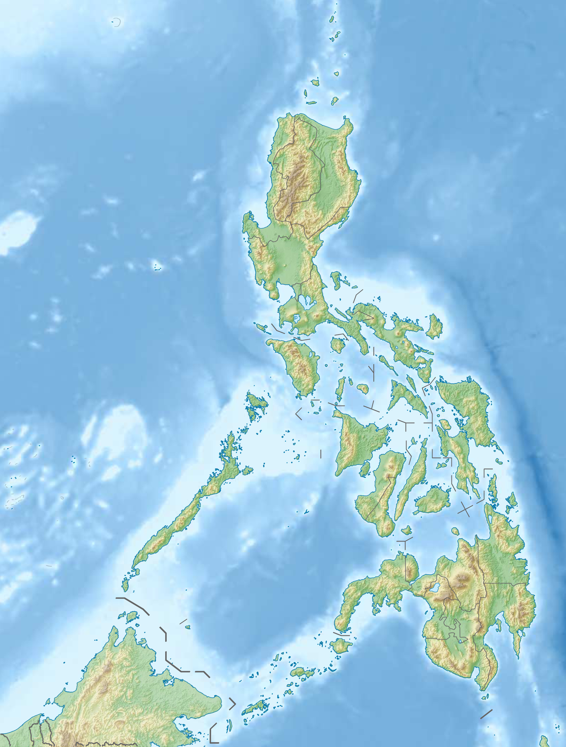
Deutsch: Physische Positionskarte der Philippinen
Quadratische Plattkarte, N-S-Streckung 103 %. Geographische Begrenzung der Karte:
English: Physical location map of the Philippines
Equirectangular projection, N/S stretching 103 %. Geographic limits of the map:
|
| កាលបរិច្ឆេទ | |
| ប្រភព |
ការងារផ្ទាល់របស់អ្នកផ្ទុកឡើង, using
|
| អ្នកនិពន្ធ | Carport |
| ការអនុញ្ញាត (ប្រើឯកសារនេះឡើងវិញ) |
ឯកសារនេះជាប់អាជ្ញាបណ្ឌCreative Commons Attribution-Share Alike 3.0 Unported។
|
| ទំរង់ផ្សេងទៀត |
Derivative works of this file: 2013 Lahad Datu standoff.svg
|


|
File:Philippines relief location map (square).svg is a vector version of this file. It should be used in place of this JPG file when not inferior.
File:Philippines relief location map.jpg → File:Philippines relief location map (square).svg
For more information, see Help:SVG. |
.svg) |
ប្រវត្តិឯកសារ
ចុចលើម៉ោងនិងកាលបរិច្ឆេទដើម្បីមើលឯកសារដែលបានផ្ទុកឡើងនៅពេលនោះ។
| ម៉ោងនិងកាលបរិច្ឆេទ | កូនរូបភាព | វិមាត្រ | អ្នកប្រើប្រាស់ | យោបល់ | |
|---|---|---|---|---|---|
| បច្ចុប្បន្ន | ម៉ោង១៥:០៧ ថ្ងៃច័ន្ទ ទី៣១ ខែធ្នូ ឆ្នាំ២០១២ | | ១៨៧១ × ២៤៦៨ (១.២៣មេកាបៃ) | Carport | {{Information |Description= {{de|Physische Positionskarte der Philippinen}} Quadratische Plattkarte, N-S-Streckung 103 %. Geographische Begrenzung der Karte: * N: 21.2° N * S: 4.3° N * W: 114.1° O * O: 127.3° O {{en|Physical loc... |
បម្រើបម្រាស់ឯកសារ
2 ទំព័រ ខាងក្រោមប្រើប្រាស់ឯកសារនេះ ៖
បម្រើបម្រាស់ឯកសារជាសាកល
វីគីដទៃទៀតដូចខាងក្រោមនេះប្រើប្រាស់ឯកសារនេះ៖
- ការប្រើប្រាស់នៅក្នុង az.wikipedia.org
- Jolo adası
- Apo dağı
- Şablon:Yer xəritəsi Filippin
- Suriqao boğazı
- Luzon boğazı
- Kamotes dənizi
- Luson adası
- Mindanao
- Tayabas bərzəxi
- Samar
- Leyte
- Mindoro
- Luzon adaları
- Palavan
- Panay
- Neqros
- Visay adaları
- Mindanao adaları
- Batan adası
- Tubabao
- Marinduke
- Bohol
- Lubanq adası
- Romblon adası
- Biliran adası
- Borakay
- Maktan adası
- Siarqao adası
- Babuyan arxipelaqı
- Panqlao
- Lubanq arxipelaqı
- Mastabe adası
- Sibutu adası
- Sulu arxipelaqı
- Kalamian adaları
- Basilan
- Koron adası
- Sibuyan adası
- Bohol adası
- Sebu adası
- Leonard Knyazev vulkanı
- Taal gölü
- ការប្រើប្រាស់នៅក្នុង be.wikipedia.org
View more global usage of this file.