ឯកសារ:Thailand location map.svg

Size of this PNG preview of this SVG file: ៣៤១ × ៦០០ ភីកសែ. ភាពម៉ត់ផ្សេងទៀត៖ ១៣៦ × ២៤០ ភីកសែ | ២៧៣ × ៤៨០ ភីកសែ | ៤៣៦ × ៧៦៨ ភីកសែ | ៥៨២ × ១០២៤ ភីកសែ | ១១៦៤ × ២០៤៨ ភីកសែ | ១០៥១ × ១៨៤៩ ភីកសែ។
រូបភាពដើម (ឯកសារប្រភេទSVG ១០៥១ × ១៨៤៩ ភីកសែល ទំហំឯកសារ៖ ៦៦២គីឡូបៃ)
ចំណារពន្យល់
| ការពិពណ៌នា |
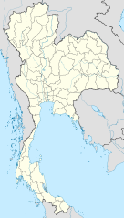
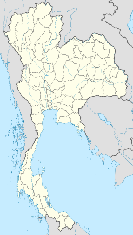
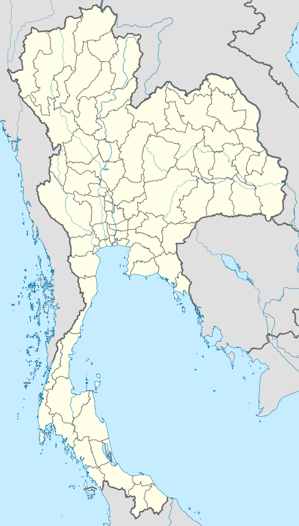
Deutsch: Positionskarte von Thailand
Quadratische Plattkarte, N-S-Streckung 103 %. Geographische Begrenzung der Karte:
English: Location map of Thailand
Equirectangular projection, N/S stretching 103 %. Geographic limits of the map:
|
| កាលបរិច្ឆេទ | |
| ប្រភព |
ការងារផ្ទាល់របស់អ្នកផ្ទុកឡើង, using
|
| អ្នកនិពន្ធ | NordNordWest |

|
This map has been made or improved in the German Kartenwerkstatt (Map Lab). You can propose maps to improve as well.
|
ការដាក់អាជ្ញាប័ណ្ណ
I, the copyright holder of this work, hereby publish it under the following licenses:

|
រូបភាពនៃទំព័រនេះជាកម្មសិទ្ធិរបស់GNU Free Documentation License។ Version 1.2 ឬក៏ខ្ពស់ជាងនេះត្រូវបានឧបត្ថមគាំទ្រដោយ មូលនិធិសូហ្វវែរដោយឥតគិតថ្លៃ (Free Software Foundation) ដែលមិនមានផ្នែកណាមួយរបស់ប្រភពដើមរួមទាំងអក្សរនៅលើគំរបមុខនិងខ្នង ត្រូវបានផ្លាស់ប្តូរទេ។ ចំពោះផ្នែកដែលមិនអាចផ្លាស់ប្តូរបាន សូមមើលGNU Free Documentation License។ |
ឯកសារនេះជាប់អាជ្ញាបណ្ឌCreative Commons Attribution 3.0 Unported។
- អ្នកមានសិទ្ធិ៖
- ចែកចាយ – ថតចំលងនិងចែកចាយស្នាដៃនេះ
- កែច្នៃ – កែច្នៃយកទៅប្រើ
- ក្រោមលក្ខខណ្ឌដូចតទៅនេះ៖
- ភាពជាម្ចាស់កម្មសិទ្ធ – You must give appropriate credit, provide a link to the license, and indicate if changes were made. You may do so in any reasonable manner, but not in any way that suggests the licensor endorses you or your use.
You may select the license of your choice.
ប្រវត្តិឯកសារ
ចុចលើម៉ោងនិងកាលបរិច្ឆេទដើម្បីមើលឯកសារដែលបានផ្ទុកឡើងនៅពេលនោះ។
| ម៉ោងនិងកាលបរិច្ឆេទ | កូនរូបភាព | វិមាត្រ | អ្នកប្រើប្រាស់ | យោបល់ | |
|---|---|---|---|---|---|
| បច្ចុប្បន្ន | ម៉ោង១៣:០៥ ថ្ងៃអង្គារ ទី២២ ខែមីនា ឆ្នាំ២០១១ | | ១០៥១ × ១៨៤៩ (៦៦២គីឡូបៃ) | NordNordWest | update, new province |
| ម៉ោង១៨:០០ ថ្ងៃអង្គារ ទី១៤ ខែមេសា ឆ្នាំ២០០៩ |  | ១០៥២ × ១៨៤៩ (១.០៤មេកាបៃ) | NordNordWest | corr | |
| ម៉ោង១៩:៥៧ ថ្ងៃអាទិត្យ ទី២៩ ខែមីនា ឆ្នាំ២០០៩ |  | ១០៥៣ × ១៨៥២ (៩២៤គីឡូបៃ) | NordNordWest | corr | |
| ម៉ោង១៨:០៣ ថ្ងៃអាទិត្យ ទី២៩ ខែមីនា ឆ្នាំ២០០៩ |  | ១០៥៣ × ១៨៥២ (៩២៤គីឡូបៃ) | NordNordWest | corr | |
| ម៉ោង១៩:០៨ ថ្ងៃសៅរ៍ ទី២៨ ខែមីនា ឆ្នាំ២០០៩ |  | ១០៥៣ × ១៨៥២ (៩២៥គីឡូបៃ) | NordNordWest | {{Information |Description= {{de|Positionskarte von Thailand}} Quadratische Plattkarte, N-S-Streckung 103 %. Geographische Begrenzung der Karte: * N: 20.6° N * S: 5.4° N * W: 97.1° O * O: 106.0° O {{en|Location map of [[:en:Thailand|T |
បម្រើបម្រាស់ឯកសារ
35 ទំព័រ ខាងក្រោមប្រើប្រាស់ឯកសារនេះ ៖
- ខេត្តគោកខ័ណ្ឌ
- ខេត្តច័ន្ទបុរី
- ខេត្តជលបុរី
- ខេត្តត្រាច
- ខេត្តនាងរង
- ខេត្តបស្ចឹមបុរី
- ខេត្តរយ៉ង
- ខេត្តលពបុរី
- ខេត្តសង្គឹត
- ខេត្តសិរីសាកេត
- ខេត្តសុគន្ធនគរ
- ខេត្តសុរិន្ទ
- ខេត្តសុវណ្ណភូមិ
- ខេត្តស្ទឹងជ្រៅ
- ខេត្តស្រីទេព
- ខេត្តស្រះកែវ
- ខេត្តឧប្បលរាជធានី
- ជំរំជនភៀសខ្លួន សាយធូ
- ប្រាង្គព្រួញបី
- ប្រាសាទកំពែងតូច
- ប្រាសាទកំពែងធំ
- ប្រាសាទក្រពុំ
- ប្រាសាទក្រោម
- ប្រាសាទគោកងាវ
- ប្រាសាទនាងរង
- ប្រាសាទភូមិសម្បូណ៍
- ប្រាសាទភ្នំក្រវ៉ាន់
- ប្រាសាទល្ងៀង
- ប្រាសាទស្តេចសឹង្ហ
- ពិមាឃ
- ម៉ែសត
- សានព្រះកាន
- សុរិន្ទ
- ស្រីសាកេត
- ទំព័រគំរូ:Location map Thailand
បម្រើបម្រាស់ឯកសារជាសាកល
វីគីដទៃទៀតដូចខាងក្រោមនេះប្រើប្រាស់ឯកសារនេះ៖
- ការប្រើប្រាស់នៅក្នុង af.wikipedia.org
- ការប្រើប្រាស់នៅក្នុង als.wikipedia.org
- ការប្រើប្រាស់នៅក្នុង an.wikipedia.org
- ការប្រើប្រាស់នៅក្នុង ar.wikipedia.org
- ការប្រើប្រាស់នៅក្នុង ast.wikipedia.org
- ការប្រើប្រាស់នៅក្នុង az.wikipedia.org
- ការប្រើប្រាស់នៅក្នុង ba.wikipedia.org
- ការប្រើប្រាស់នៅក្នុង be-tarask.wikipedia.org
- ការប្រើប្រាស់នៅក្នុង be.wikipedia.org
View more global usage of this file.