ឯកសារ:USA California location map.svg

Size of this PNG preview of this SVG file: ៥២៣ × ៥៩៩ ភីកសែ. ភាពម៉ត់ផ្សេងទៀត៖ ២០៩ × ២៤០ ភីកសែ | ៤១៩ × ៤៨០ ភីកសែ | ៦៧០ × ៧៦៨ ភីកសែ | ៨៩៤ × ១០២៤ ភីកសែ | ១៧៨៧ × ២០៤៨ ភីកសែ | ១០២២ × ១១៧១ ភីកសែ។
រូបភាពដើម (ឯកសារប្រភេទSVG ១០២២ × ១១៧១ ភីកសែល ទំហំឯកសារ៖ ៤៨០គីឡូបៃ)
ចំណារពន្យល់
| ការពិពណ៌នា |
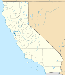
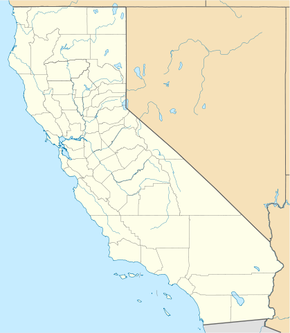
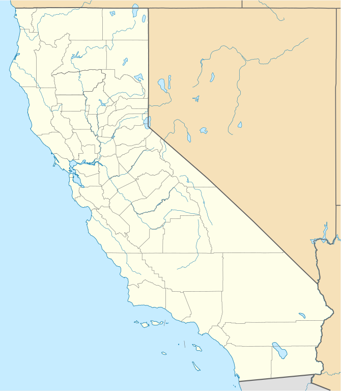
Quadratische Plattkarte, N-S-Streckung 125 %. Geographische Begrenzung der Karte:
Equirectangular projection, N/S stretching 125 %. Geographic limits of the map:
|
||
| កាលបរិច្ឆេទ | |||
| ប្រភព |
ការងារផ្ទាល់របស់អ្នកផ្ទុកឡើង
|
||
| អ្នកនិពន្ធ | NordNordWest | ||
| ទំរង់ផ្សេងទៀត |
Derivative works of this file: |
||
| SVG genesis | រូបភាពក្រាភិកវ៉ិចទ័រនេះត្រូវបានបង្កើតឡើងដោយប្រើ Inkscape.
|

ការដាក់អាជ្ញាប័ណ្ណ
I, the copyright holder of this work, hereby publish it under the following licenses:

|
រូបភាពនៃទំព័រនេះជាកម្មសិទ្ធិរបស់GNU Free Documentation License។ Version 1.2 ឬក៏ខ្ពស់ជាងនេះត្រូវបានឧបត្ថមគាំទ្រដោយ មូលនិធិសូហ្វវែរដោយឥតគិតថ្លៃ (Free Software Foundation) ដែលមិនមានផ្នែកណាមួយរបស់ប្រភពដើមរួមទាំងអក្សរនៅលើគំរបមុខនិងខ្នង ត្រូវបានផ្លាស់ប្តូរទេ។ ចំពោះផ្នែកដែលមិនអាចផ្លាស់ប្តូរបាន សូមមើលGNU Free Documentation License។ |
ឯកសារនេះជាប់អាជ្ញាបណ្ឌCreative Commons Attribution 3.0 Unported។
- អ្នកមានសិទ្ធិ៖
- ចែកចាយ – ថតចំលងនិងចែកចាយស្នាដៃនេះ
- កែច្នៃ – កែច្នៃយកទៅប្រើ
- ក្រោមលក្ខខណ្ឌដូចតទៅនេះ៖
- ភាពជាម្ចាស់កម្មសិទ្ធ – You must give appropriate credit, provide a link to the license, and indicate if changes were made. You may do so in any reasonable manner, but not in any way that suggests the licensor endorses you or your use.
You may select the license of your choice.
ប្រវត្តិឯកសារ
ចុចលើម៉ោងនិងកាលបរិច្ឆេទដើម្បីមើលឯកសារដែលបានផ្ទុកឡើងនៅពេលនោះ។
| ម៉ោងនិងកាលបរិច្ឆេទ | កូនរូបភាព | វិមាត្រ | អ្នកប្រើប្រាស់ | យោបល់ | |
|---|---|---|---|---|---|
| បច្ចុប្បន្ន | ម៉ោង១៩:១៧ ថ្ងៃសុក្រ ទី០៥ ខែមិថុនា ឆ្នាំ២០០៩ | | ១០២២ × ១១៧១ (៤៨០គីឡូបៃ) | NordNordWest | more detailed |
| ម៉ោង២១:៥០ ថ្ងៃព្រហស្បតិ៍ ទី១២ ខែមីនា ឆ្នាំ២០០៩ |  | ១០២០ × ១១៦៩ (៣៨៥គីឡូបៃ) | NordNordWest | {{Information |Description= {{de|Positionskarte von Kalifornien, USA}} Quadratische Plattkarte, N-S-Streckung 125 %. Geographische Begrenzung der Karte: * N: 42.2° N * S: 32.3° N * W: 124.7° W * O: 113.9° W {{en|Locatio |
បម្រើបម្រាស់ឯកសារ
5 ទំព័រ ខាងក្រោមប្រើប្រាស់ឯកសារនេះ ៖
បម្រើបម្រាស់ឯកសារជាសាកល
វីគីដទៃទៀតដូចខាងក្រោមនេះប្រើប្រាស់ឯកសារនេះ៖
- ការប្រើប្រាស់នៅក្នុង af.wikipedia.org
- ការប្រើប្រាស់នៅក្នុង als.wikipedia.org
- ការប្រើប្រាស់នៅក្នុង an.wikipedia.org
- ការប្រើប្រាស់នៅក្នុង ar.wikipedia.org
- يونيفرسال سيتي
- قالب:ص.م/موقع جغرافي متعدد
- قالب:خريطة مواقع الولايات المتحدة/كاليفورنيا
- قالب:ص.م/موقع جغرافي متعدد/شرح
- مطار رينو تاهو الدولي
- خطوط الاسكا الجوية الرحلة 261
- برج ليليان كويت
- حادثة إطلاق النار بمطار لوس أنجلوس الدولي 2002
- قصر وينشستر الغامض
- زلزال نورثريدج 1994
- زامبيريني فيلد
- قالب:ص.م/موقع جغرافي متعدد/ملعب
- ការប្រើប្រាស់នៅក្នុង ast.wikipedia.org
- Aeropuertu Internacional de Los Angeles
- Aeropuertu de Long Beach
- Aeropuertu Internacional d'Oakland
- Aeropuertu Internacional LA/Ontario
- Aeropuertu Internacional de Sacramento
- Aeropuertu Públicu de Santa María
- Módulu:Mapa de llocalización/datos/California
- Módulu:Mapa de llocalización/datos/California/usu
- ការប្រើប្រាស់នៅក្នុង azb.wikipedia.org
View more global usage of this file.