ឯកសារ:WorldMap.svg

Size of this PNG preview of this SVG file: ៨០០ × ៤០៥ ភីកសែ. ភាពម៉ត់ផ្សេងទៀត៖ ៣២០ × ១៦២ ភីកសែ | ៦៤០ × ៣២៤ ភីកសែ | ១០២៤ × ៥១៩ ភីកសែ | ១២៨០ × ៦៤៨ ភីកសែ | ២៥៦០ × ១២៩៧ ភីកសែ | ២៧៦០ × ១៣៩៨ ភីកសែ។
រូបភាពដើម (ឯកសារប្រភេទSVG ២៧៦០ × ១៣៩៨ ភីកសែល ទំហំឯកសារ៖ ៧២៩គីឡូបៃ)
ចំណារពន្យល់
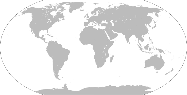
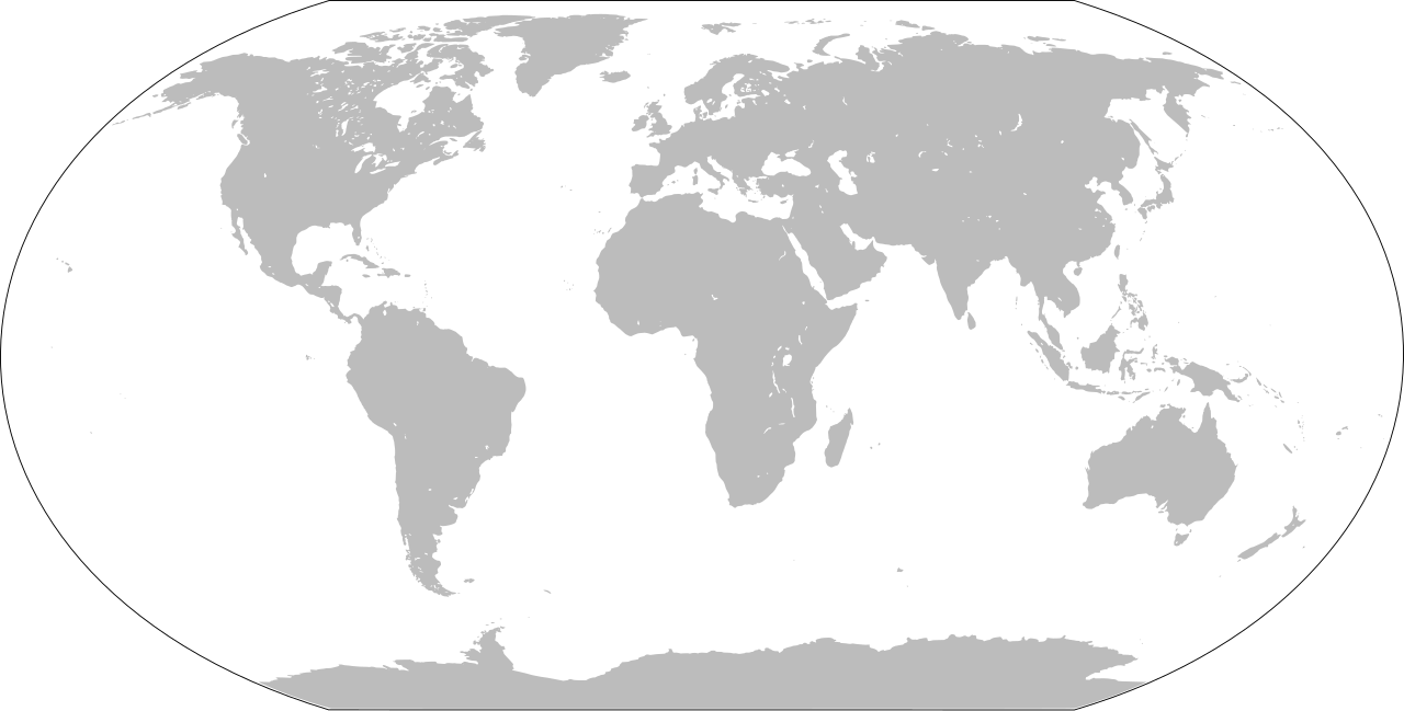
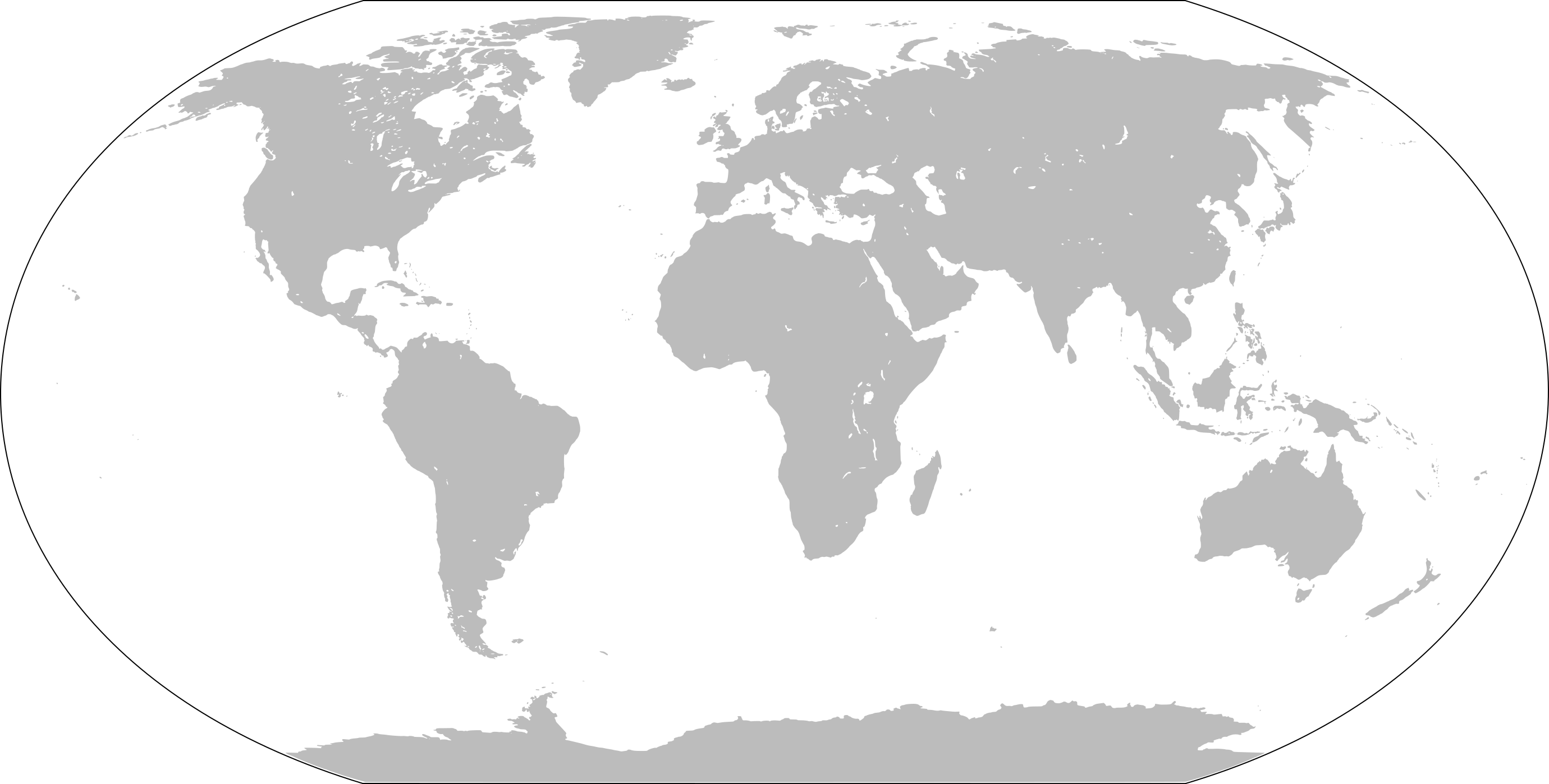
| ការពិពណ៌នា | Blank world map |
| កាលបរិច្ឆេទ | |
| ប្រភព | Own work based on: LocationWorld.png by David Kernow |
| អ្នកនិពន្ធ |
Original: Vector: |
| SVG genesis | រូបភាពក្រាភិកវ៉ិចទ័រនេះត្រូវបានបង្កើតឡើងដោយប្រើ Inkscape. |
ការដាក់អាជ្ញាប័ណ្ណ
This image is in the public domain because it contains materials that originally came from the United States Central Intelligence Agency's World Factbook.
|
 |
ប្រវត្តិឯកសារ
ចុចលើម៉ោងនិងកាលបរិច្ឆេទដើម្បីមើលឯកសារដែលបានផ្ទុកឡើងនៅពេលនោះ។
| ម៉ោងនិងកាលបរិច្ឆេទ | កូនរូបភាព | វិមាត្រ | អ្នកប្រើប្រាស់ | យោបល់ | |
|---|---|---|---|---|---|
| បច្ចុប្បន្ន | ម៉ោង១៦:៤៣ ថ្ងៃពុធ ទី២៦ ខែមករា ឆ្នាំ២០២២ | | ២៧៦០ × ១៣៩៨ (៧២៩គីឡូបៃ) | Scratchinghead | Islands disconnected-again |
| ម៉ោង១៦:២៦ ថ្ងៃពុធ ទី២៦ ខែមករា ឆ្នាំ២០២២ |  | ២៧៦០ × ១៣៩៨ (២៣៦គីឡូបៃ) | Belbury | Reverted to version as of 08:52, 12 September 2012 (UTC) also erased the sea and the map's border | |
| ម៉ោង១៦:២២ ថ្ងៃពុធ ទី២៦ ខែមករា ឆ្នាំ២០២២ |  | ៥៣៦៥ × ២៧៩៦ (៧១៤គីឡូបៃ) | Scratchinghead | Some islands were connected to the mainland, changed that | |
| ម៉ោង០៨:៥២ ថ្ងៃពុធ ទី១២ ខែកញ្ញា ឆ្នាំ២០១២ |  | ២៧៦០ × ១៣៩៨ (២៣៦គីឡូបៃ) | Palosirkka | Scrubbed with http://codedread.com/scour/ | |
| ម៉ោង១៤:៥១ ថ្ងៃព្រហស្បតិ៍ ទី០១ ខែមករា ឆ្នាំ២០០៩ |  | ២៧៦០ × ១៣៩៨ (៥០៨គីឡូបៃ) | CodeOne | == Summary == This is a recreated version of Image:LocationWorld.png using vector graphics. Original description: Large plain-grey map of world created by adapting Image:LocationSouthAmerica.png. Previous image uploaded by User:UserLogin no |
បម្រើបម្រាស់ឯកសារ
ទំព័រ ខាងក្រោមប្រើប្រាស់ឯកសារនេះ ៖
បម្រើបម្រាស់ឯកសារជាសាកល
វីគីដទៃទៀតដូចខាងក្រោមនេះប្រើប្រាស់ឯកសារនេះ៖
- ការប្រើប្រាស់នៅក្នុង bn.wikibooks.org
- ការប្រើប្រាស់នៅក្នុង da.wikipedia.org
- ការប្រើប្រាស់នៅក្នុង en.wikipedia.org
- ការប្រើប្រាស់នៅក្នុង en.wikibooks.org
- ការប្រើប្រាស់នៅក្នុង es.wikipedia.org
- ការប្រើប្រាស់នៅក្នុង fa.wikipedia.org
- ការប្រើប្រាស់នៅក្នុង fr.wikipedia.org
- ការប្រើប្រាស់នៅក្នុង he.wikipedia.org
- ការប្រើប្រាស់នៅក្នុង hu.wiktionary.org
- Central Europe
- Eastern Europe
- Southern Europe
- Northern Europe
- Antarctica
- North America
- South America
- Asia
- Indian Ocean
- Central America
- Micronesia
- Pacific Ocean
- Earth
- Caribbean
- Americas
- Arctic Ocean
- Central Africa
- Southern Ocean
- East Asia
- West Africa
- North Africa
- Western Europe
- West Asia
- Sablon:Earth Labelled Map
- South Asia
- Australasia
- Northern America
- East Africa
- Horn of Africa
- Southwest Asia
- Central Asia
View more global usage of this file.